
World's End, Horton Plains
Hike across misty cloud-forest plains to a sheer 870-metre escarpment drop, with views across the southern plains on a clear morning.
Jan – Mar
Best Time
Cold & misty, 5–15°C
Weather
Warm jacket, start before 7am for clear views
Bring
Overview
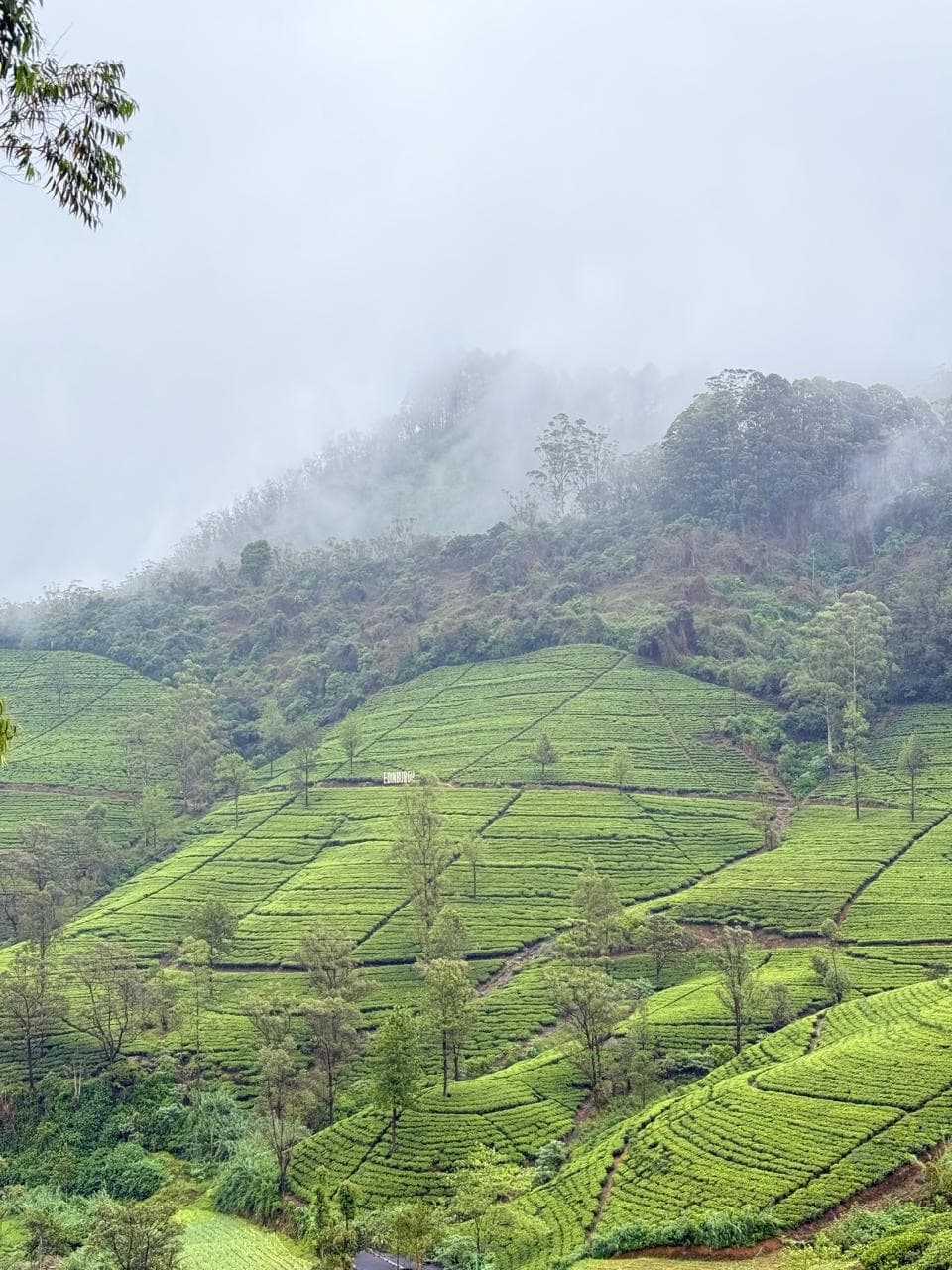
Horton Plains National Park sits high on Sri Lanka's central plateau, a landscape of montane grassland and cloud forest that feels a world away from the tropical coast. The main draw is the 9km loop trail out to World's End, a sheer escarpment that drops 870 metres to the plains below — on a clear morning the views stretch as far as the south coast, though cloud typically rolls in by mid-morning, which is why an early start is essential. Along the way the trail passes Baker's Falls and open grassland where sambar deer graze in the cool highland air, a noticeably different climate and ecosystem from anywhere else on the island.
History & Culture
Horton Plains takes its English name from Sir Robert Wilmot-Horton, the British governor of Ceylon in the 1830s, though the plateau had long been known to local communities before colonial surveyors mapped it. Its cool, wet, high-altitude climate made it unsuitable for the tea and coffee plantations that transformed much of the surrounding hill country, which is a large part of why its cloud forest and grassland have survived largely intact.
The plains sit at the heart of Sri Lanka's central highlands and form the watershed for three of the island's major rivers — the Mahaweli, Kelani and Walawe — making the ecosystem here critical to water supply far beyond the park itself. The area was declared a national park in 1988 and, together with the surrounding highlands, was inscribed as a UNESCO World Heritage Site in 2010 for its exceptional biodiversity and endemic species.
World's End itself, the sheer escarpment at the edge of the plateau, has long been a place of local legend as much as a hiking destination — a landscape that seems to end abruptly in mid-air, with the plains falling away toward the lowlands nearly a kilometre below.
More destinations
Ready to visit World's End, Horton Plains?
Tell us what you'd like to experience and we'll build a route around it.
Plan My Trip